
A new initiative led by the University of Toronto (U of T) will create the first large-scale data collection system to understand the complex relationship between cities, the local environment and global climate change.
The comprehensive study from U of T’s Centre for Urban Environments (CUE) in Mississauga is expected to inform policymakers and potentially create a model for understating how cities and urbanization influence the environment.
“More than 80 per cent of the world’s population lives in cities, but we really don’t understand how cities are changing the environment that we live in, and how this is driving – and being affected by – climate change,” says Marc Johnson, CUE’s director and an associate professor of biology. “We hope to learn more so we can make cities healthier and more sustainable.”

According to the U of T Bulletin Brief the centre’s Urban Environmental Network (UrbEnNet) will gather real-time data from dozens of sites across the Greater Toronto Area. CUE’s UrbEnNet will provide unprecedented data about how urbanization and urban development shapes the environment, including the physical environment, air quality, water quality and temperature.
Johnson recalls a heatwave that resulted in the deaths of more than 90 people in Montreal. He explains that buildings absorb the sun’s energy and radiate heat, even after sundown, so elevated temperatures can contribute to heatstroke and extra stress on human cardiovascular systems. This puts vulnerable people in urban areas at risk.
“In urban areas the lack of green cover means the city areas becomes hot,” he says. “If we can better locate the location of heat island or air pollution hot spots, we can create better mitigation strategies and policies to keep people healthier during these events, which are becoming more common as a result of climate change.”
The research team includes 38 researchers from U of T with interdisciplinary expertise in geography, biology, chemistry, robotics and more. Regional conservation authorities and municipal and provincial policymakers are also contributing partners.
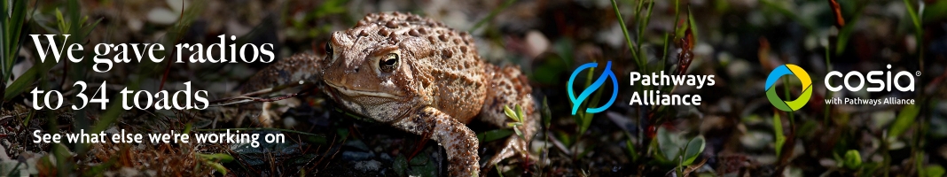
Pilot projects include a mobile monitor air pollution levels to pinpoint pollution hot spots and remote camera trap installations to capture remote wildlife images and data to help analyze species diversity, population density, seasonal dynamics, demography, and temporal and spatial patterns in activity, behaviour and habitat use.
In the coming months, CUE’s UrbEnNet will seek federal support for the initiative, which will cost approximately $18 million. Results will be published in journals and delivered through lectures and public conferences. For further information, visit U of T CUE


